A look back at Regio’s activities in 2023
Here’s a brief look back on some of the important topics that remind us of 2023 in Regio.
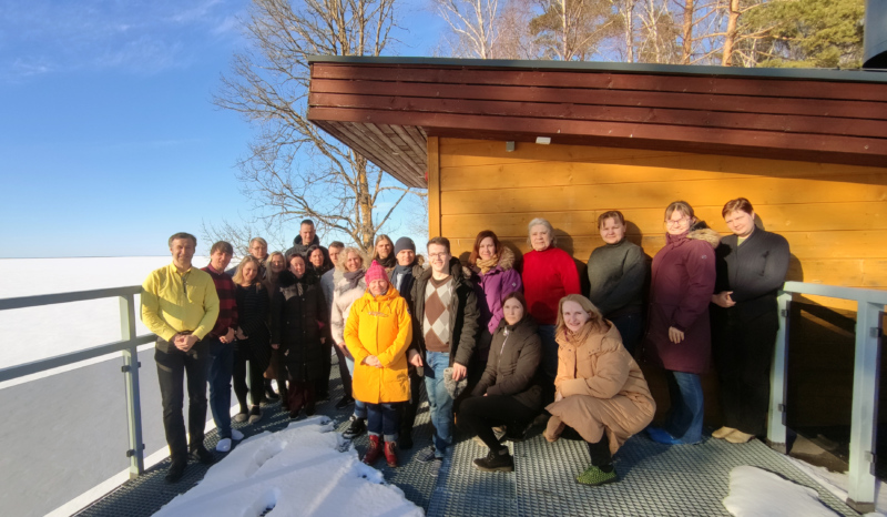
New additions to the Regio team
2023 was a year of growth for Regio. Not only did we grow as a team (there’s now 28 of us!) and as a company, but we also decided to deconstruct our processes, products and services. We’ve begun stitching them back together as well – a process that’s keeping us busy in 2024.
Regio’s database of the Baltic countries
One of Regio’s main activities is creating a database of addresses, roads, navigation data and points of interests for the Baltic States, and 2023 was a breakthrough year for us in this regard: we tackled the process of swapping out the software we use for our databases. This change benefits us in a number of ways: it streamlines our techniques and simplifies the collection, management and storage of data. Thank you to all our current and future customers for sharing in our belief in the importance of precise and reliable spatial data!
You can find our database for the Baltic States here: https://www.regio.ee/en/geospatial-solutions/spatial-data/
Regio map application now covers all three Baltic States
We turned our online map into an app in 2023 to make it easy to use on smart devices. This means Regio currently has two map apps: our old one and the new one. Although our first (and very popular) app, ‘Estonian Roads’, can still be used, it will no longer get monthly data updates. The new app, ‘Regio Map’, covers all three Baltic States, i.e. Estonia, Latvia and Lithuania. The map automatically rotates according to your direction of travel thanks to the Regio vector map.
Regio map for iOS devices in the App Store: https://apps.apple.com/us/app/regio-kaart/id6443934675
Regio map for Android devices in Google Play: https://play.google.com/store/apps/details?id=ee.regio.regio2022
15 years of Regio’s Garmin maps
The earliest versions of our maps made using official Garmin technology were created in 2008. Although Garmin devices already included a map of Estonia at that time, the first proper Estonian data only reached Garmin’s ‘Navigator Europe’ 15 years ago, via Regio. For information on how this all began, and whether and why separate navigation devices are even needed in the era of phones and other smart devices, give our blog post by Enn Veenpere a read: https://www.regio.ee/en/blog/2023/06/26/15-years-of-regios-garmin-maps/
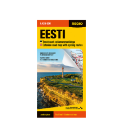
Publication of a new folded map: Estonia with cycling routes
People asked us for a new folded map of Estonia, so we made one! Although phones and navigation devices are handy guides, good old road maps still provide the best overview of the Estonian road network. The new map also boasts an important innovation: it’s printed on waterproof and tear-resistant paper!
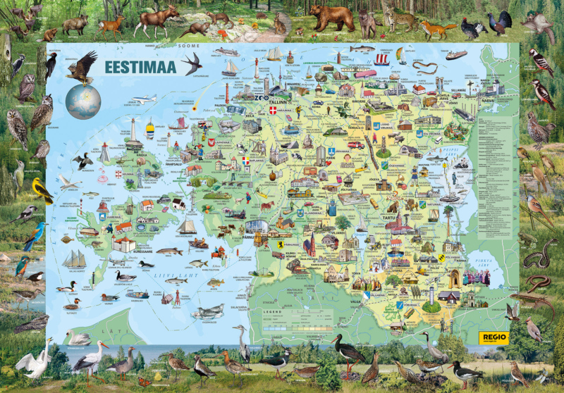
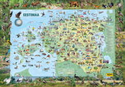
Updates to our iconic illustrated map of Estonia
This has been one of Regio’s most popular wall maps for years. The first version was published more than two decades ago, so we decided to release a new, fully updated version in 2023.
-
 Illustrated Map of EstoniaFrom 21.00 €