
Find the correct address format and postal code for an address in Estonia, Latvia, or Lithuania
Check an address and find its postal code.
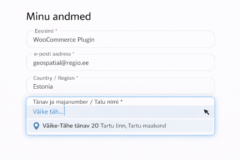
Start typing the address in the search box, for example: Väike-Tähe 20, Tartu.
If the address is not found, enter a more precise address (add settlement, municipality, or county) or check the spelling.
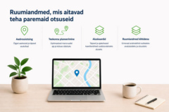
Geoinformation Solutions
We have over 30 years of experience in creating, collecting, processing, and analyzing spatial data. As experts in our field, we help you find the best geoinformation solutions tailored to your needs.

The Baltic States Database
Regio’s spatial database for the Baltic States is the most accurate and comprehensive geodataset available for Estonia, Latvia, and Lithuania. Its strengths lie in the rich attribute data and high data quality, making it a reliable tool for various enterprises and organizations.

Maps and Map Applications
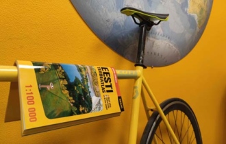
We offer a wide range of wall maps, atlases, tourist maps, as well as GPS maps for Garmin devices. We also compile bespoke wall and wayfinding maps, tourist maps, map files and map applications.


Thank you everyone – working with you has always inspired us!

