Cartography
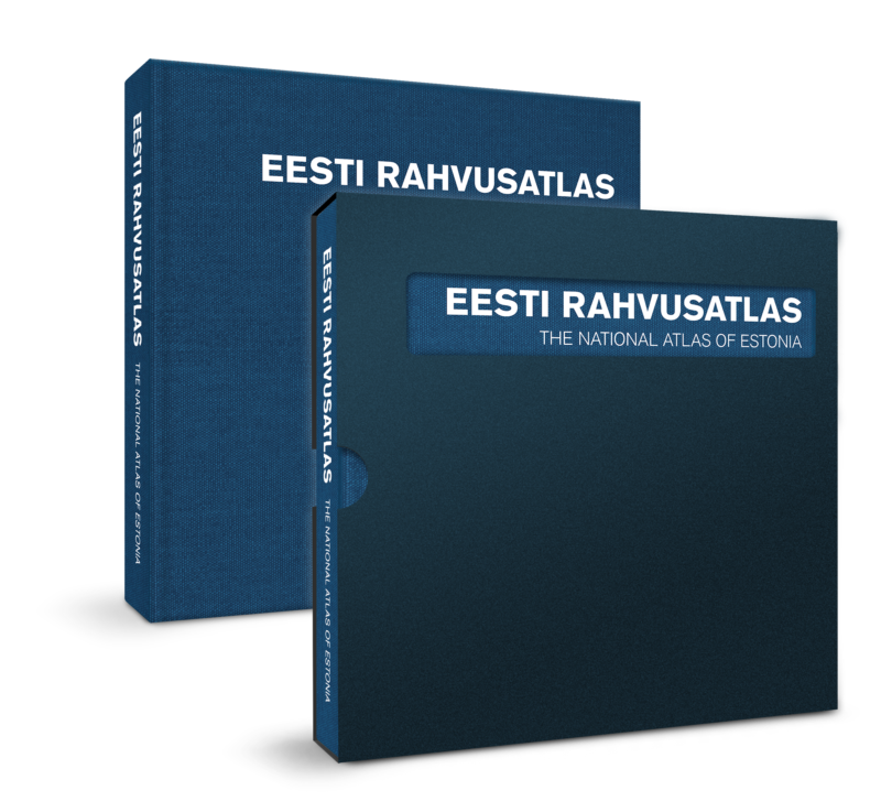
National Atlas of Estonia

The first Estonian National Atlas was published in 2019 in cooperation with geographers from the University of Tartu and map makers from Regio. The atlas contains nearly 500 historical and contemporary maps along with fascinating explanations that help to give meaning to Estonian nature, culture and history. The maps are grouped into 36 topical chapters that describe the formation of Estonia’s borders, the Estonian climate, forestry, healthcare and population, among other topics. The Estonian language, the origin of Estonians, folklore, education and religion are also examined. The National Atlas is published in English and Estonian.
