Cartography
Gallery
Wall Maps
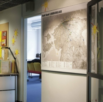
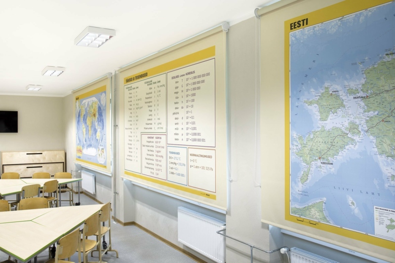
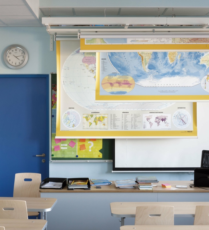
Estonian map in Rocca al Mare school.
Photo: Toomas Tuul
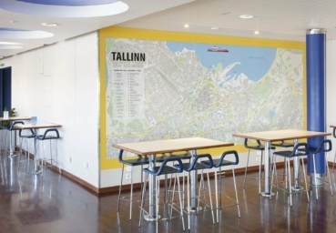
Tallinn wall map at Viking XPRS vessel.
Photo: Toomas Tuul
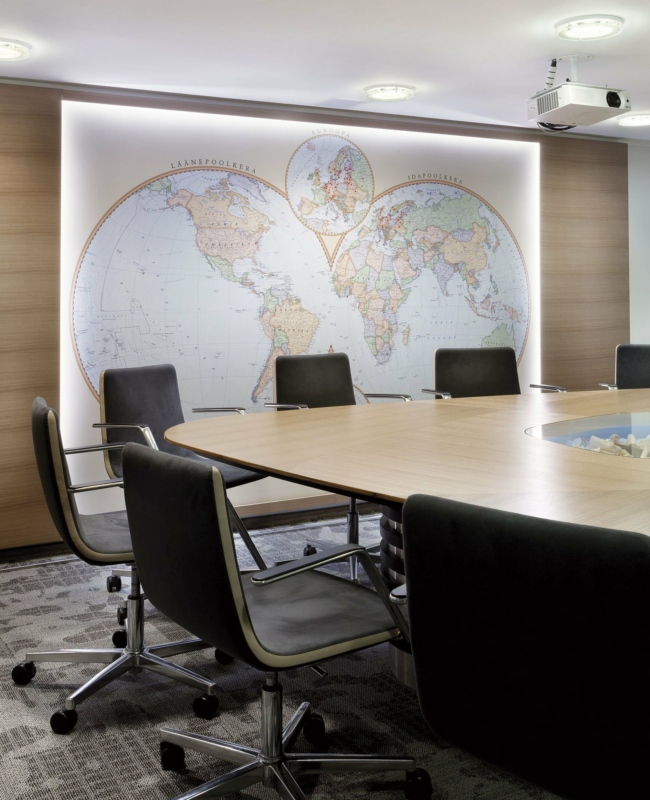
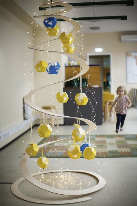
Hemisphere map with LED lights at Standard office.
Photo: Toomas Tuul
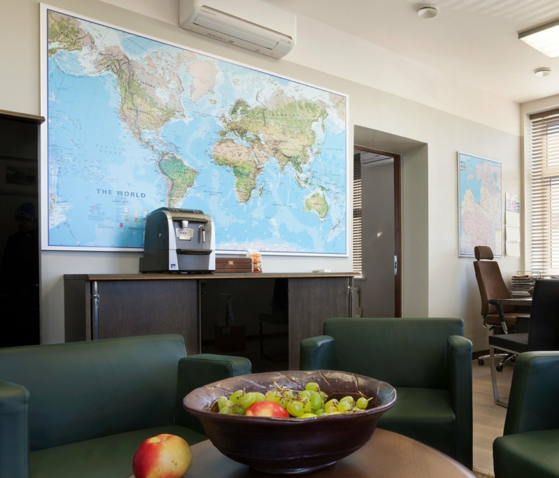
Maps International World physical map at Tartu Mill office.
Photo: Toomas Tuul
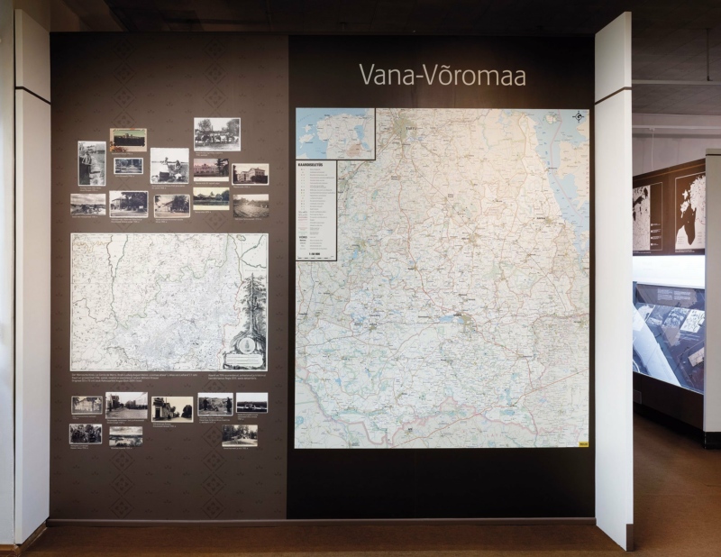
Maps at Vana-Võromaa Museum.
Photo: Toomas Tuul
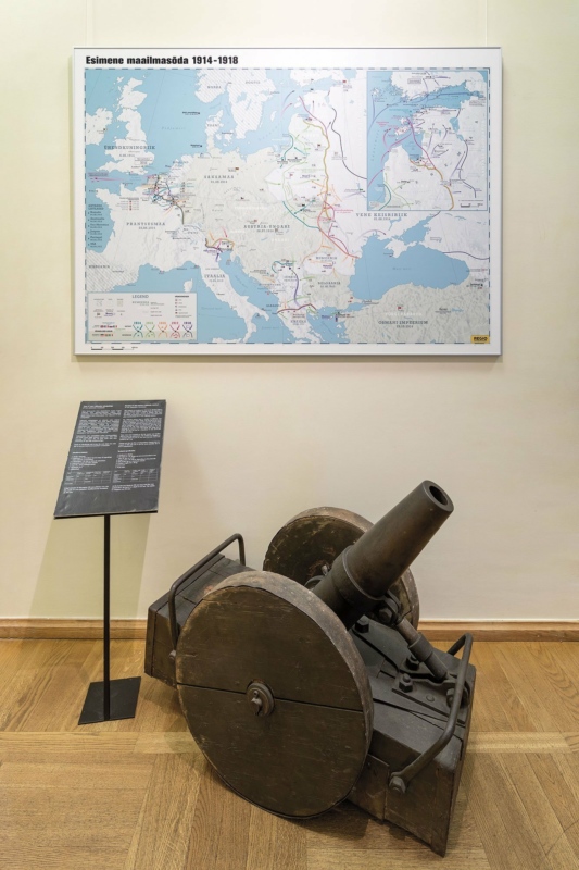
World War I map at Estonian war Museum.
Photo: Toomas Tuul
Interior
Darkening blinds at Väätsa school.
Photo: Toomas Tuul
Darkening blinds at Alatskivi school.
Photo: Toomas Tuul
Blind system at Kadrioru Saksa school.
Photo: Toomas Tuul
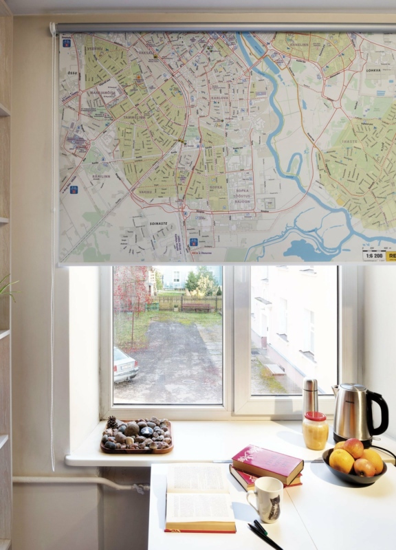
Tartu cycling map on blind.
Photo: Toomas Tuul
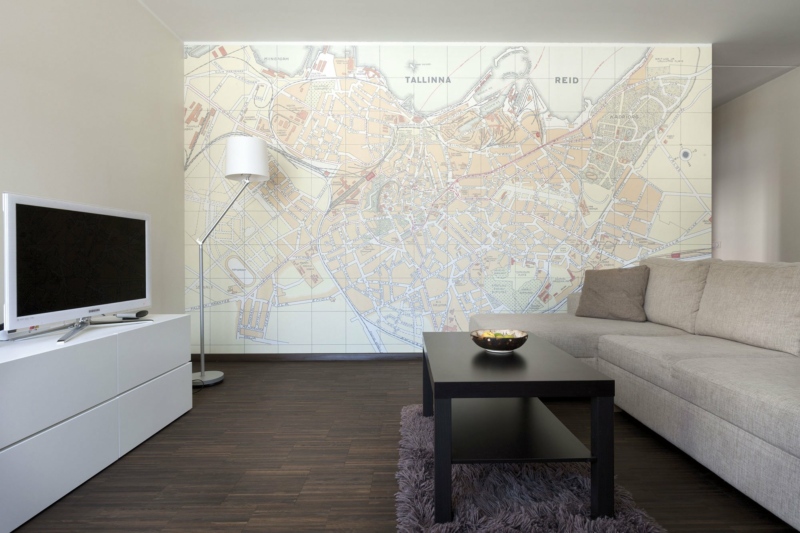
1930 Tallinn map on wallpaper.
Photo: Toomas Tuul
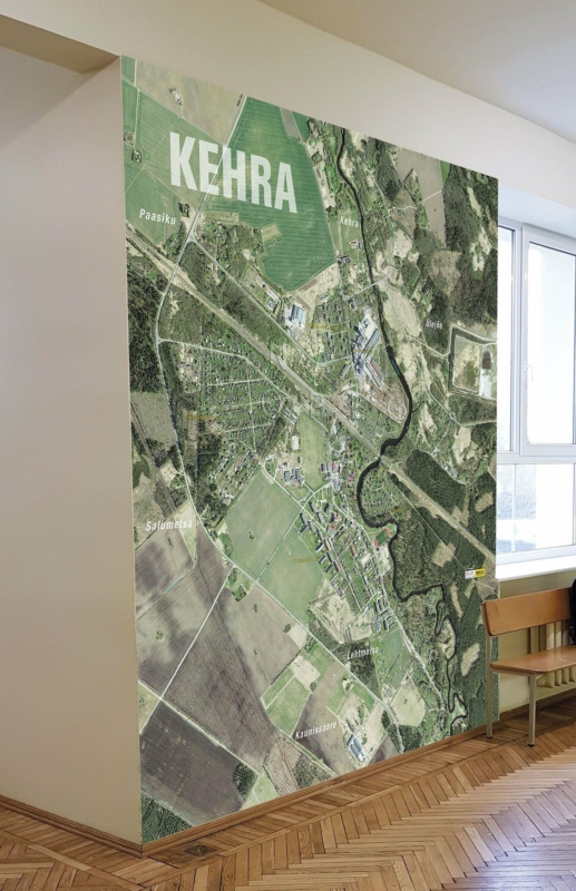
Orthophoto on wallpaper at Kehra school.
Photo: unknown
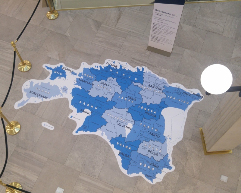
Administrative Map of Estonia on floor covering.
Photo: Aivo Jakobson
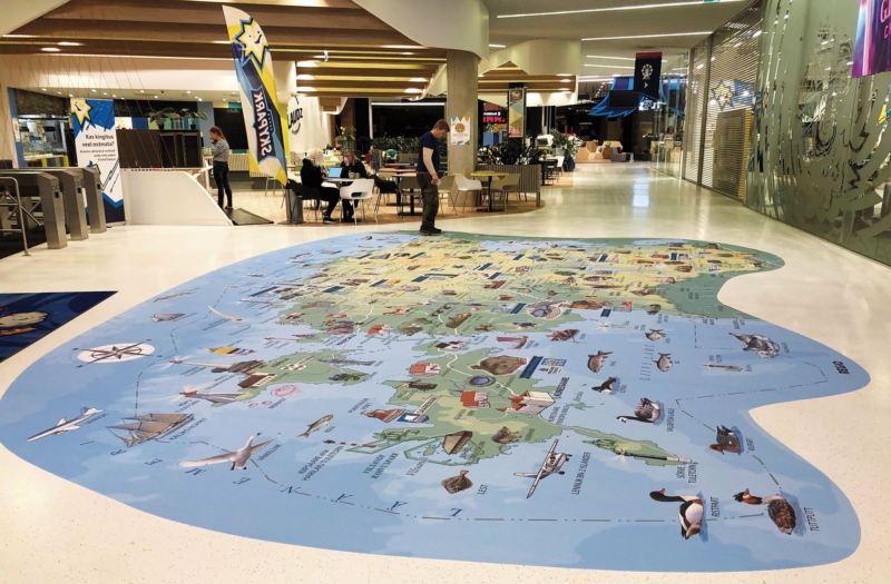
Administrative Map of Estonia on floor covering.
Photo: unknown
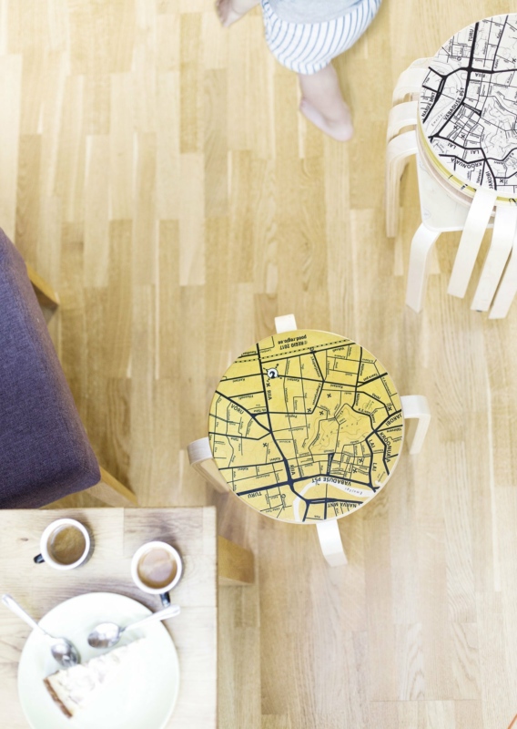
Wooden stools with city maps.
Photo: Hanna Maran

Wooden stool with metal legs.
Photo: Hanna Maran
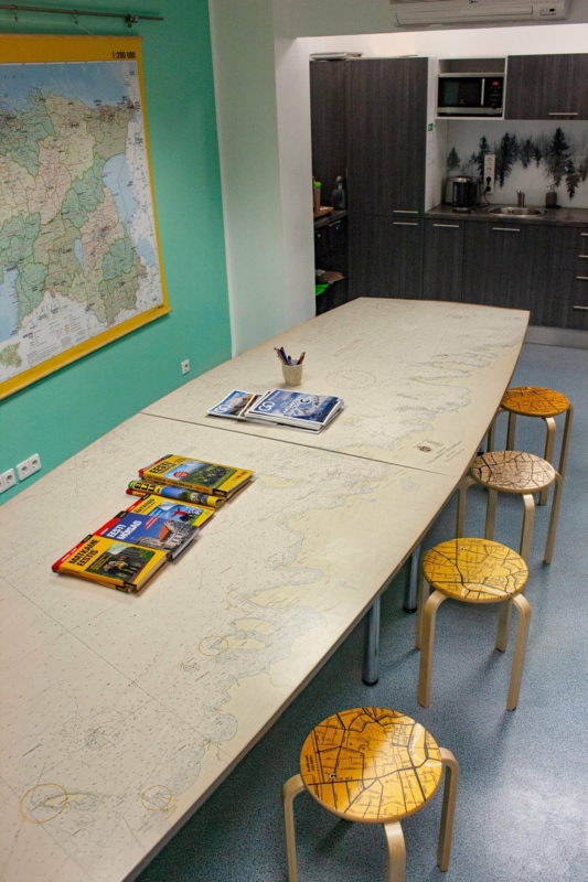
Sea map on wooden tabel at Regio office.
Photo: unknown
Christmas tree at Regio office.
Photo: Hanna Maran