Wall map – a timeless classic
We live in an era where to many people, ‘map’ means Google Maps or anything of the sort that’s found on our phone screens or dashboards. If you were to ask whether wall maps are even needed in today’s world, the answer would be simple: yes! They still have a variety of uses.
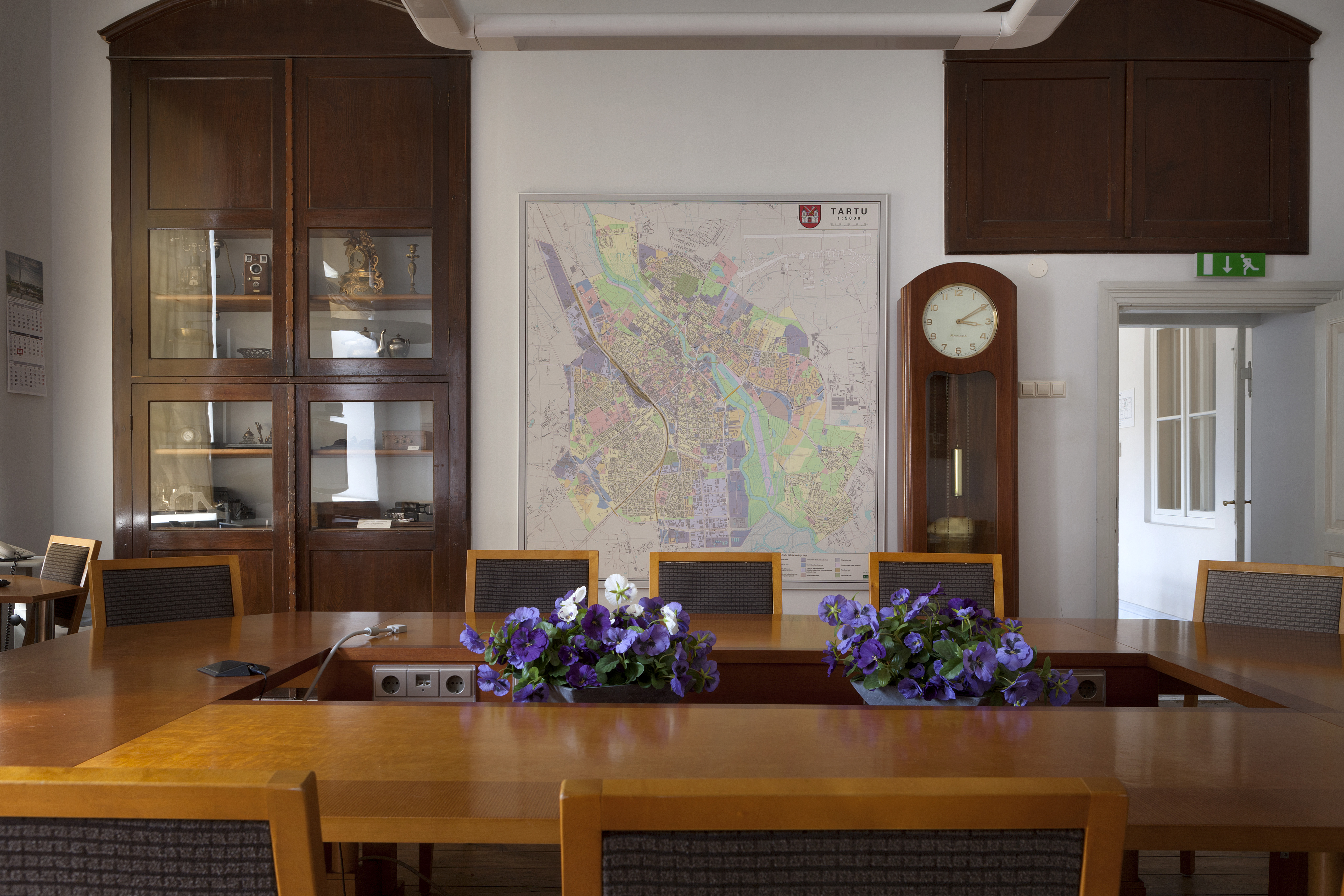
Wall maps are beautiful
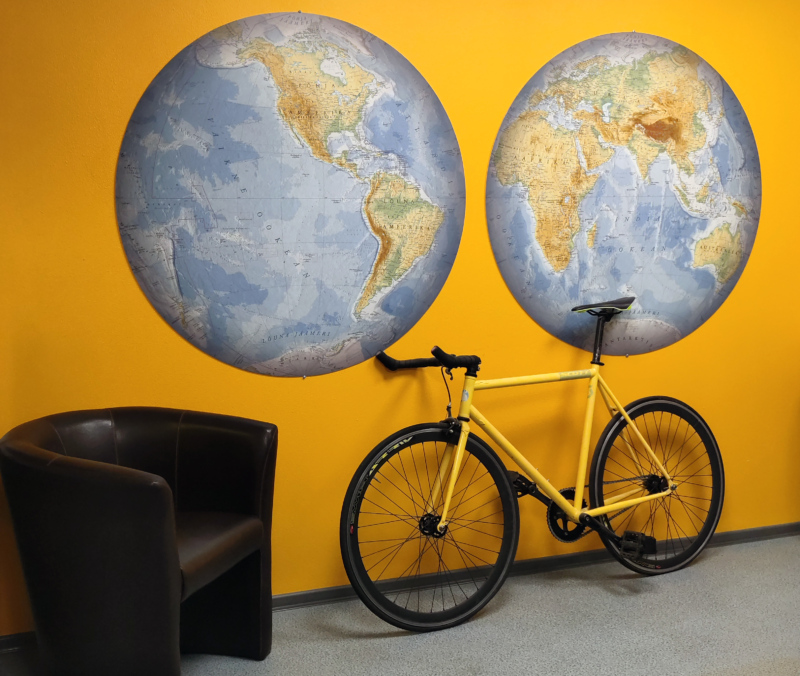
Many wall maps are simply lovely to look at. Hang one up and it will immediately make the room more lively and open. Some wall maps are like works of art – be they vintage style with intricate designs or modern ones with a more contemporary look.
Speaking of which, it has to be said that just like valuable works of art, rare maps are sold in auction houses around the world, with collectors willing to pay a lot of money for them: the most expensive map ever sold at auction went for 10 million dollars in 2001! It was created by cartographer Martin Waldseemüller in 1507 and was the first to feature the name ‘America’. It was purchased by the United States Library of Congress.
But for a map to light up both your room and your face, it doesn’t necessarily have to be a work of art; after all, it’s always nice to take a look at a map of your favourite town or country, reminisce on your travels and plan new adventures. Maps of the world or just of Estonia fulfil the same function and are a great starting point in finding your next travel destination.
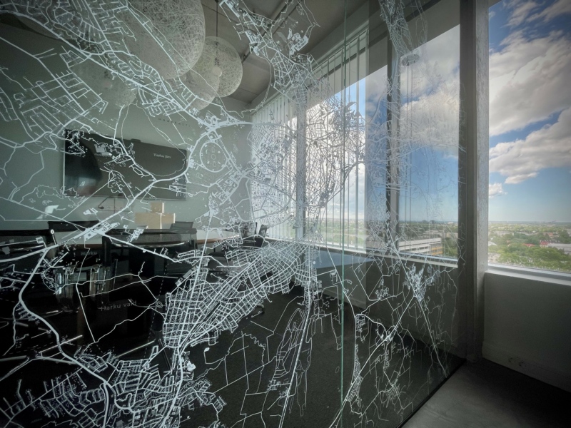
However, maps don’t always have to be printed on paper. Why not have your favourite map printed on window blinds, or even wallpaper? Cover an entire wall with it! Maps can also be used on glass partitions, allowing the otherwise unadorned material to be transformed into a more interesting – and safer – interior design element.
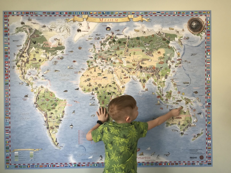
Maps teach and educate us
There’s no denying the educational value of maps. Wall maps are particularly useful in this regard, as they provide an overview of a region, a country or the entire world. They tell you where you’ll find seas and mountains, deserts and cities, roads and borders. Maps also allow you to get to know your own country – its islands and peninsulas, lakes and rivers, towns and villages, highest points and largest bogs. You can be sure that if there’s a proper map on your wall and you’ve pored over it with your children, they’ll have a much easier time in geography lessons!
And not just geography: maps can also depict former boundary lines, colonies and empires, as well as historic events from different parts of the world. This helps us understand how geographic conditions have affected the history and development of nations. You don’t have to look very far for examples of this: just look at Estonia’s own borders…
An essential reference tool
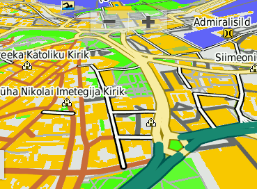
Wall maps are often also a very useful reference tool, especially if they provide the exact information you need and the features that are of interest to you. Local stores, playgrounds, roads, hiking trails, schools and kindergartens, hotels and restaurants… nearly everything can be marked on maps.
They also help visualise different regions, locations and routes and let you see the geographical links between them. Wall maps are invaluable for devising strategies and planning projects. Let’s say you want to open a store or build a kindergarten, or you’re interested in property development or erecting wind turbines: the first thing you have to do is look at a map and decide the best potential location. If you’re in marketing or sales, maps are good for visualising sales territories, customer bases and locations of potential clients.
We produce 100+ wall maps every year
Regio has been making wall maps for more than three decades, and digital solutions are still a long way from denting the popularity of such maps.
Around 100 wall maps are produced by Regio every year, most of them of Estonia and different parts of it (towns and villages, counties and municipalities). Our second most popular map is the political world map, which is something we’re glad to see that people are still interested in! And though it may seem like nothing much is changing in the world, the exact opposite is true: countries change the names or locations of their capitals, alter their national flags and even change the name of the country itself.
Is my wall map up to date?
One way of checking whether your world map is up to date is to see whether it depicts South Sudan. Only one Sudan existed until 2011, when it split into two: the Republic of the Sudan, and the Republic of South Sudan. When it comes to maps of Estonia, many of us assume nothing ever changes. However, the administrative reforms of 2017 altered the map significantly – not only reducing the number of municipalities, but also changing county borders. For instance, the Lihula region (formerly part of Lääne County) merged with Pärnu County, which as a result became the largest county in Estonia in terms of total land area.