Children's
Showing 1–12 of 15 results
Add to favorites
![General Physical Map of Estonia](/wp-content/uploads/2021/05/eesti_fyysiline_uldisem_kollaserv_regio-1-244x172.jpg)
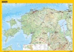
Physical Map of Estonia, general
From 17.00 € Add to favorites
![Regio Eesti haldusjaotuse seinakaart](/wp-content/uploads/2021/05/eesti_haldusjaotus_uldisem_kollaserv_regio-244x172.jpg)
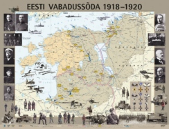
Estonian Administrative Division, general
From 17.00 € Add to favorites
![The word political with flags Regio](/wp-content/uploads/2021/05/maailm_poliitiline_lippudega_kollaserv_regio-2-244x170.jpg)
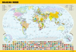
World Political Map, with flags
From 21.00 € Add to favorites
![Regio Euroopa piltkaart](/wp-content/uploads/2021/05/euroopa_piltkaart_regio-244x244.jpg)
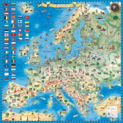
Illustrated Map of Europe
From 21.00 € Add to favorites
![Race against the virus](/wp-content/uploads/2020/11/Regio_lauamang_Voidujooks_viirusega-244x183.jpg)
Board game “Race against the virus”
12.71 € Add to favorites
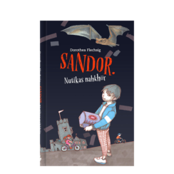
![](/wp-content/uploads/2020/11/sandor_nutikas_nahkhiir_dorothea_flechsig_regio-244x244.png)
Books for children
Add to favorites
![Plakat maailma riikide lipud](/wp-content/uploads/2020/11/plakat_maailma_riikide_lipud_valmiskaart_regio-1-173x244.jpg)
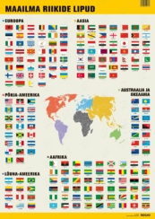
Country flags of the World
From 5.00 € Add to favorites
![Vee-Eesti. Sadamad ja laevateed Regio](/wp-content/uploads/2021/08/vee_eesti_kollaserv_regio-244x174.jpg)
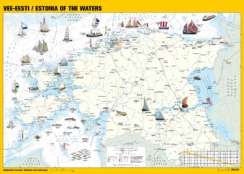
Estonia of the Waters. Harbours and waterways
From 9.00 € Add to favorites
![Eestimaa piltkaart](/wp-content/uploads/2021/05/Regio_Eestimaa_piltkaart_2023-244x170.jpg)
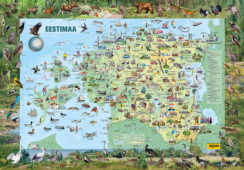
Illustrated Map of Estonia
From 21.00 € Add to favorites
![Regio maailma piltkaart](/wp-content/uploads/2021/05/maailm_piltkaart_regio-244x184.jpg)
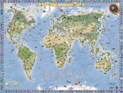
Illustrated Map of World
From 24.00 € Add to favorites
![Regio kahepoolne Eesti lauakaart](/wp-content/uploads/2021/05/eesti_A3_lauamatt_regio-244x172.jpg)
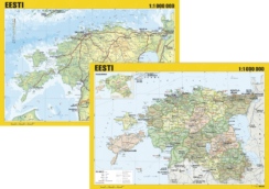
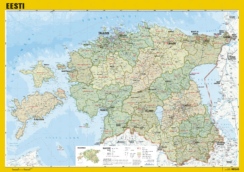
Map of Estonia, double-sided, for table
6.10 € Add to favorites
![Eesti vabadussõja seinakaart 1918 - 1920](/wp-content/uploads/2021/05/eesti_vabadussoda_regio-244x187.jpg)