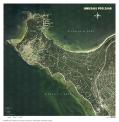
Wall maps

Showing 1–9 of 116 results
Add to favorites
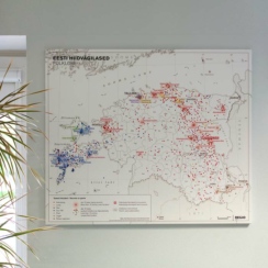
Maps of the National Atlas
Add to favorites
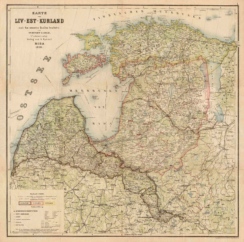
Liv-Est-Kurland 1898
Add to favorites
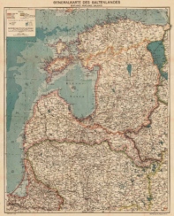
Generalkarte des Baltenlandes 1917
Add to favorites
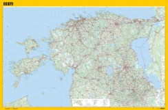
Map of Estonia with forest background, detailed
Add to favorites
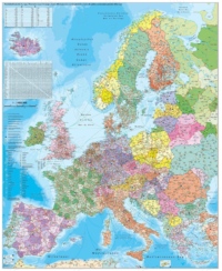
Stiefel: Europe Postcode Map
Add to favorites
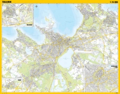
Tallinn With Clippings of Saue, Maardu and City Centre
Add to favorites
Map of Tartu, general
Add to favorites
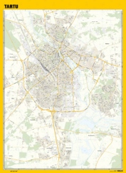
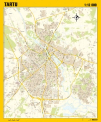
Map of Tartu, detailed
Add to favorites