Description
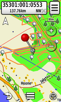
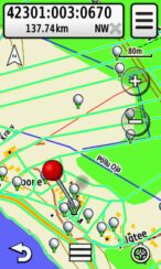
Downloadable layer of forest allocations of Estonia for Garmin devices.
The data comes from forest register of Estonian Environmental Board and public sources of KEMIT. Disdistinction is made between allocations in private forest and RMK (State Forest Management) forest.
You can search the allocations under points of interest (POI) by cadastral identifier or number of the forest allocation.
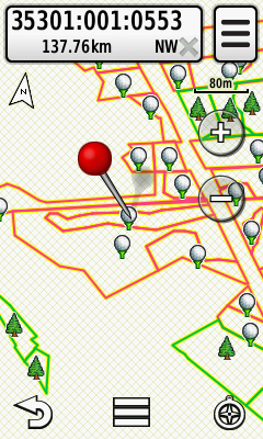
NB! The layer of forest allocations consist only of the boundaries and numbers of the forest allocations. There is no basemap. If you need a map of Estonia we recommend to buy the Regio Estonian topo map v2 on SD card.
We usually make a new map quarterly.
Attention!
- Downloadable layer is non-refundable.
- You can not copy or browse the map layers on your SD card or GPS-device on computer.
- If you add other maps on the SD card make sure the names of the files do not match or the old file will be replaced.
NB! Before the update please make sure your Garmin GPS device is capable to run maps in such format (see the manual of your GPS device and www.garmin.com).
Suitable primarily for handhelds for example: Dakota, Oregon, Colorado, GPSMap 62, Montana ect.
Tips for uploading Regio ‘Garmin map updates’ and ‘Theme layers’.
Reviews
There are no reviews yet.