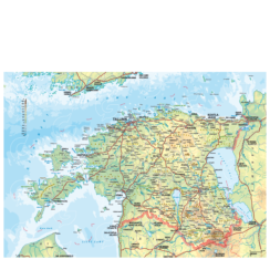
Description
Map of village or county, hiking trail or island – we will create a map on customer request with the exact area and information you need. Chosen objects are shown with selected photos.
The map file is compiled on special order, depending on customer’s request of the map area and dimensions as well as information density of the map.
Options are:
(a) a more detailed map with the street network and names or an overview map with major streets and green spaces;
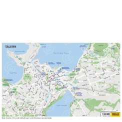
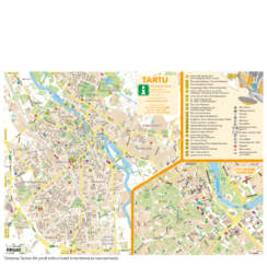
(b) a city map with thematic information, such as tourist attractions or accommodtions. Illustrations and photos can be added to the card;
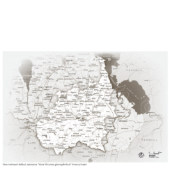
c) a base map with the street network, on which the customer uploads necessary thematic information.
In the case of publications, we offer the entire service from design to printing.
When selling a license for the usage of card file, a licence agreement with the customer will be signed. The general terms and conditions of which can be found here.
For pricing, please contact Regio by email: kaardid@regio.ee or fill the form.