
 GER
 EST
EUROCARTO 2026 Conference: The topics shaping cartography today
Automatic translation by ChatGPT
Regio Head of Cartography / Co-CEO Merle Annov and Senior Cartographer Triin Tarre attended the EUROCARTO conference in Brno, Czech Republic, and shared their impressions and observations.
A conference with a long history
The EUROCARTO conference is probably not well known even among cartographers. As the name suggests, it is a European conference, and it actually has a long history.
The first EUROCARTO took place as early as 1981 in Oxford, United Kingdom, with topics already focusing on technological challenges, including computer-assisted thematic mapping, automated toponym placement, cartographic generalization, and the development of GIS databases. Until 1997, a total of 14 EUROCARTO conferences were held in Norway, Austria, Germany, France, the Netherlands, Spain, Sweden, Denmark, Italy, and, in 1987, also in Brno, then Czechoslovakia.
After a long break, the EUROCARTO conference tradition was revived in 2015. Since then, it has been held four times in the Austrian capital Vienna (in 2020 as an online conference due to the COVID-19 pandemic, and again in 2022 and 2024).
In 2026, the conference returned to Brno, Czechia
In September 2026, the conference returned to Czechia, to Brno, after almost 40 years. And judging by how quickly the conference tickets sold out, one can only conclude how important cartographers consider the opportunity to come together again every few years.
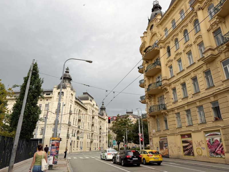
Brno is the second-largest city in Czechia (around 400,000 inhabitants), and its name is probably familiar to many, at least from a map. Brno is well known as a university city, home to the large Masaryk University, which was also the conference organiser, as well as Brno University of Technology. At the same time, two other major international conferences were taking place in the city. And it seems that conference visitors somehow have a distinctive look, as we were also asked several times on public transport whether we were on our way to one or the other of them.
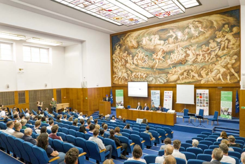
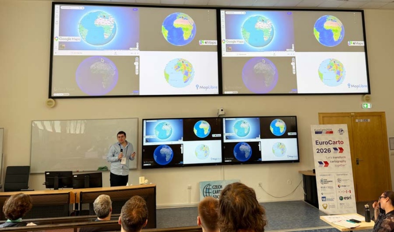
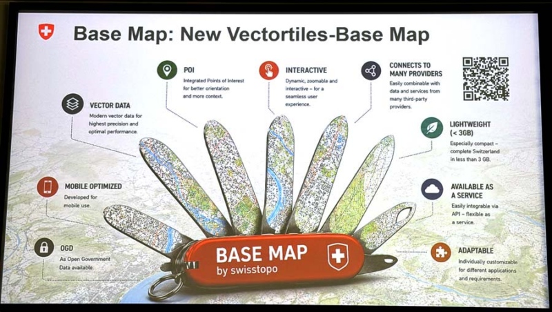
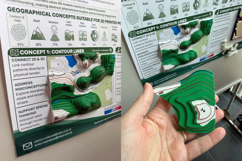
Photo: EUROCARTO
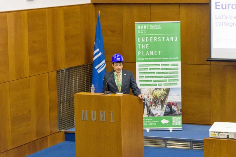
Photo: EUROCARTO
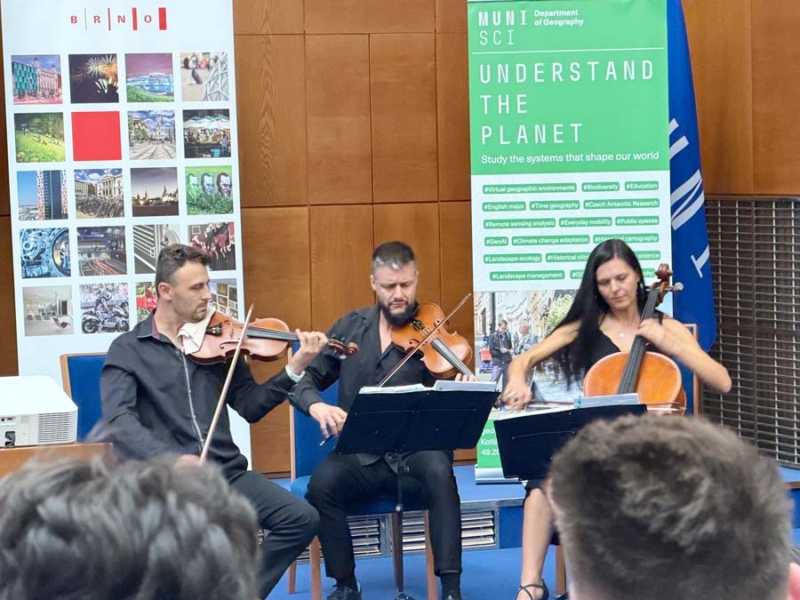
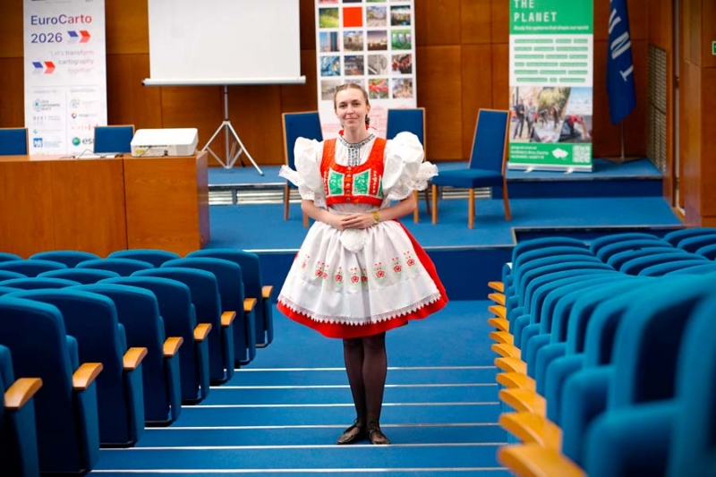
Photo: EUROCARTO
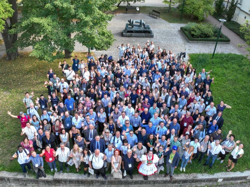
Photo: EUROCARTO
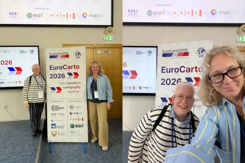
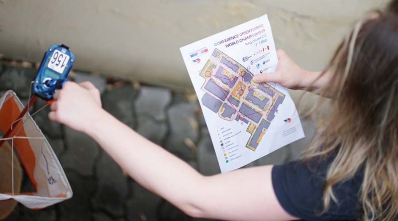
Photo: EUROCARTO
Three days of the conference
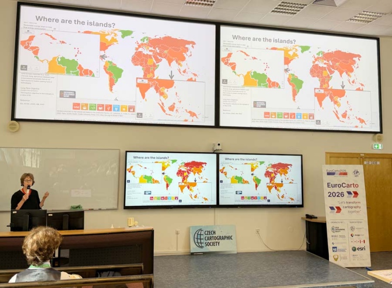
The three-day conference programme included more than 80 regular presentations, nearly 30 five-minute lightning talks and about the same number of poster presentations, as well as highly inspiring keynote speeches.
A small selection of session topics gives a good overview of what was discussed:
- processing large geospatial datasets;
- cartography education;
- generalization;
- GeoAI, ethics and machine learning;
- visualization;
- inclusive and participatory mapping;
- map use, usability and cognition;
- atlas cartography;
- open-source technologies;
- visualization of statistical data;
- web cartography;
- …
Two sessions took place in parallel in two different buildings on the Masaryk University campus (located about 150 meters apart). The tightly packed schedule was followed to the minute, and all coffee and lunch breaks were generously catered by the hosts with Czech hospitality.
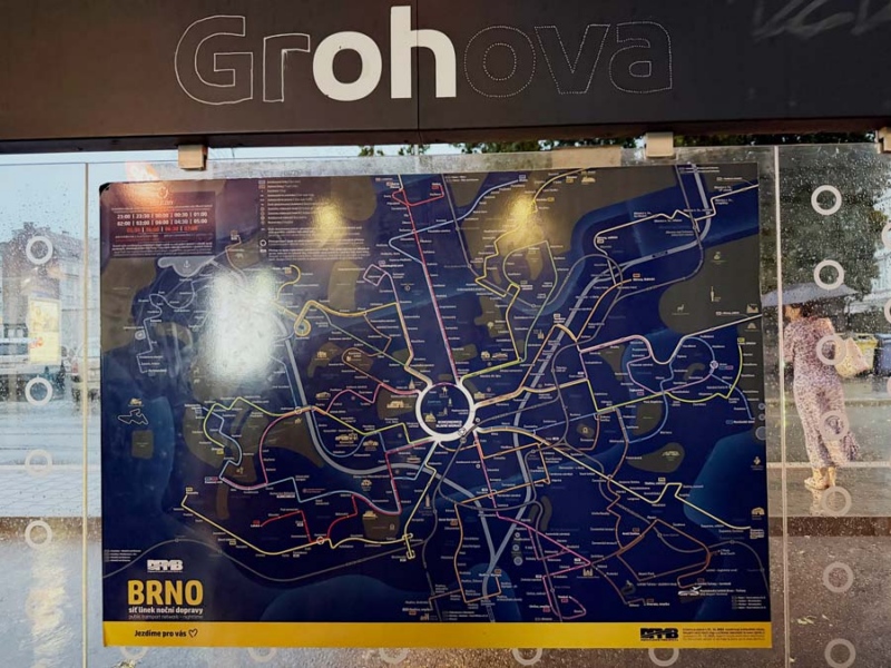
Cartography conferences almost always traditionally include an orienteering competition. We did not take part (we preferred to listen to presentations at the same time), and instead got our orienteering fix by exploring the city on our own. But that was easy – Brno is a very compact city, and its public transport is good and runs frequently.
So, what are cartographers talking about today?
When you think of a cartography conference, the first thing that probably comes to mind is map design – fonts, colours, readability – because a map is, above all, visual in nature. These topics were also discussed, but rather only in passing.
The overall message of the conference was that cartography is moving from static map production towards intelligent, interactive and user-adaptive spatial systems. Technological development was strongly in focus, but ethics, transparency, reliability and accessibility were considered equally important, with an emphasis on the role of humans as decision-makers.
The key trends included:
- GeoAI, automated cartography and quality – generalization, object and label placement, map quality assessment, and using good maps to train AI. The focus is on cartographic rules, reliability, transparency and human oversight.
- User-centred and inclusive cartography – eye-tracking, spatial perception, navigation, dark mode, participatory mapping, and tactile maps. The question is: what does the user perceive, believe, remember and do based on a map?
- Interactive maps and new media – web, 3D, AR/xR, digital twins and dynamic atlases; the map is evolving from a static end product into a tool for analysis, communication and decision-making.
- Traditional cartography remains relevant – new technologies do not replace classical cartographic principles, but rather increase the need to formalise, automate and consciously apply them.
On a more philosophical level, there was discussion about the role of cartographers and maps in society. Cartography and maps have considerable power and responsibility, yet as a field of activity, cartography still remains very much on the sidelines.
Cartographers control what goes onto a map, but they do not (sufficiently) teach people how to read it. There is also sometimes a mismatch between what a cartographer likes to depict on a map and what the user actually needs from that map.
Today, speed is certainly an important keyword, particularly from the perspective of crisis mapping, and there were quite a few presentations on this topic. When creating crisis maps, a system must automatically find and combine heterogeneous data sources, such as satellite imagery, monitoring data, social media posts, the basemap, disaster-related objects and textual information. Finally, a cartographic style is generated according to the situation – symbols, colours, layer order and layout. And when creating crisis maps, time is now measured in minutes, not hours!
Cartographers from around the world will meet in Warsaw in summer 2027
And so, after several years, an international cartography conference will once again return to Europe.
The first ICC, or International Cartographic Conference, took place in Frankfurt, Germany, in 1962. The most recent conferences were held in Cape Town, South Africa, in 2023 and Vancouver, Canada, in 2025.
The next good opportunity to get an overview of the topics currently being explored in the world of cartography is already coming next July, and this time it is relatively close to us – in Warsaw.
EUROCARTO, meanwhile, will take place again in two years, in 2028, in Basel, Switzerland.
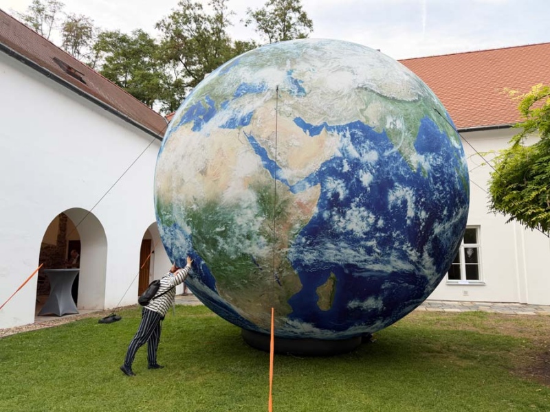
 Merle Annov and Triin Tarre


