Our Heritage
The initiative to publish maps, started by geographers from Tartu State University, moved into action in the second half of 1987. It was then that the process of compiling map content and preparing for production began in Tartu.
The Estonian SSR Construction Committee had received permission to experiment with small-scale enterprise, paving the way for the creation of a scientific and development company. A proposal was submitted to the ministry to establish the research and development company Regio (TAF Regio). Regio was granted R&D status and also became a training base for university students.
Soon, the focus shifted increasingly toward map production, and scientific research became secondary.
1991 TAF Regio was re-registered as AS Regio.
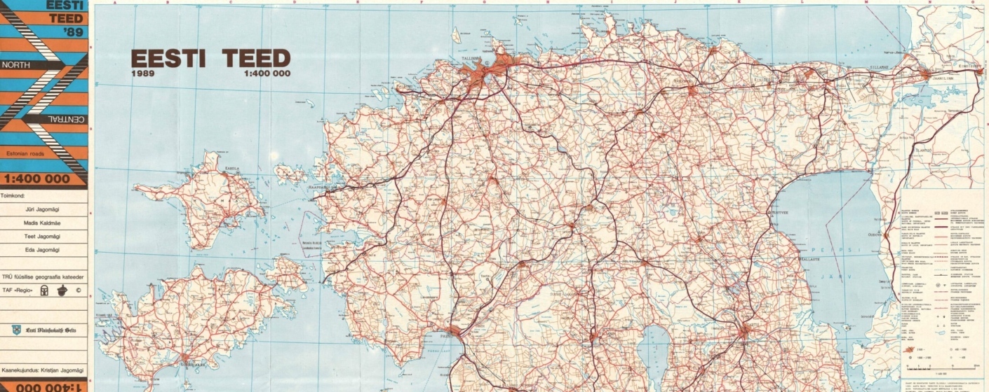
1989 The first map under the Regio name was published—the Road Map of Estonia (at a scale of 1:400,000). It was the first officially distributed and censorship-free road map compiled in Estonia, breaking through Soviet-era restrictions. The print run was an impressive 100,000 copies.
1993 In cooperation with the Maritime Administration, the first official Estonian nautical chart in over 53 years was released.
1994 Regio became the first company in Estonia to fully adopt digital technology for map production.
1994 The first edition of the legendary Regio Estonia Road Atlas was published.
1995 An Estonian-language globe was published, featuring more than 3,000 Estonian place names.
1997 In cooperation with IBS, the first public internet server was launched, and as a logical next step, we began offering web map services in 2001—before the arrival of Google Maps or the Estonian Land Board’s X-GIS.
1997 Map production was transitioned to a database-driven approach, and the first road map with route calculation for computer use was created—the first Regio CD Atlas was published.
2002 Estonian road data was integrated into Maporama’s web solutions.
2002 To our knowledge, for the first time in the world, maps became audible on mobile phones—we created a mobile guide called Regio T-number.
2005 Regio’s Baltic navigation database rapidly expanded through a partnership with global navigation data provider Navtech/Navteq (now HERE).
2005 Regio developed a web map for the Delfi news portal, and it has since become a standard.
2005 A long-term collaboration began with Deutsche Flugsicherung GmbH (DFS), Germany’s air navigation service provider, to create aeronautical maps.
2006 Regio received its ISO 9001 quality management certification.
2007 Baltic map data was included in the Michelin Road Atlas.
2008 Regio began providing GPS maps of Estonia for Garmin devices—an indispensable tool for hikers, fishermen, and nature enthusiasts.
2008 Collaboration intensified with various navigation software companies—TeleAtlas, TopMap (NavnGO).
2008 Regio published its first children’s atlas, followed by the beloved Lotte Atlas, which continues to delight young explorers.
2010 Collaboration began with Google—points of interest information appeared on Google Maps, and the first fieldwork by Regio staff took place with the Google Street View drive in the Baltic States.
2011 The first mobile app Eestimaa Piltkaardid (Picture Maps of Estonia) was launched.
2013 A free app for iOS and Android was launched to accompany Regio’s Estonian Road Atlas.
2015 During the update of Estonia’s physical wall map, a new highest point of the Sakala Upland was discovered—Härjassaare Hill.
2016 AS Regio was divided into two companies. The department focusing on maps, geospatial data, and GIS solutions formed the new company – Regio OÜ.
2016 The beginning of cooperation on fiber-optic network planning data processing with companies such as Estonian Fiber OÜ, aastrix, TKI, and Voss Telecom Services GmbH.
2019 The first National Atlas of Estonia was published as a collaboration between geographers from the University of Tartu and Regio’s cartographers.
2020 The quality of the Baltic database, especially navigation data, improved significantly thanks to collaboration with a well-known global technology company.
2021 In cooperation with the Latvian company Jāņa sēta, TerraLexicon was developed—an automated web-based translation service that allows place names on maps to be translated into many languages directly within the design file.
2022 The 22nd edition of the Estonian Road Atlas was published, marking 25 years since the release of the first atlas. In total, approximately 190,000 copies of Regio’s Estonian Road Atlas have been published over this period.
2023 Regio was listed in Äripäev’s Gasell TOP, Estonia’s ranking of fast-growing companies.
2024 Regio’s Baltic States database was successfully migrated to the open-source PostgreSQL platform.

