30-Day Map Challenge at Regio
Automatic Translation by ChatGPT
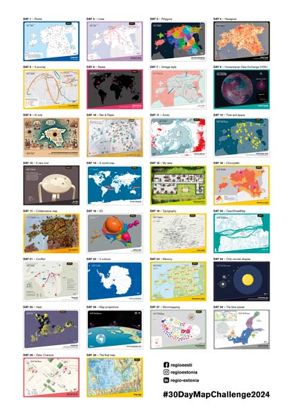
The #30DayMapChallenge is an annual event that gives all map enthusiasts the opportunity to create one map each day throughout November and share it on social media using a specific daily theme tag. Participants must follow a predefined theme for each day, with the list of topics and keywords typically revealed just before November begins. Both professionals and beginners are welcome to take part, using any software or method they prefer—whether GIS tools, hand drawing, coding, or anything else.
The challenge began in 2019, when Finnish cartographer Topi Tjukanov (https://tjukanov.org/) shared the idea on Twitter. That same year, Estonian geoinformatics expert and current University of Tartu professor Evelyn Uuemaa (https://novaator.err.ee/1015405/geoinformaatik-pani-end-proovile-ja-tegi-30-paevaga-30-uut-kaarti) accepted the challenge. Over the past five years, the initiative has grown into a global community event that fosters creativity, skill development, and the exchange of ideas.
We Started Preparing Already in Summer
At Regio, we took part in the #30DayMapChallenge for the first time this year. In fact, we began preparing already in the summer—developing a concept (presenting all maps in postcard format) and preparing basemaps in a suitable scale. We also wrote down a long list of ideas for what to map, so that once the exact daily themes were revealed, we could act quickly. Looking back, however, we ended up using only a few of those initial ideas—most of the maps were still created with the specific theme in mind.
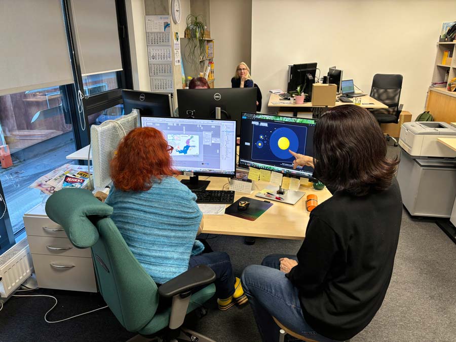
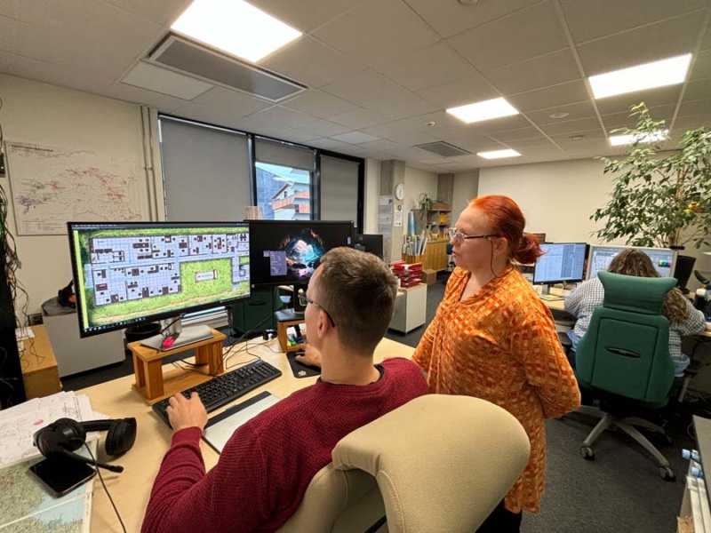
We had hoped to involve as many Regio team members as possible, but since November turned out to be an especially busy month again, our core map-making team remained fairly small. The maps were designed and produced by Regio cartographers Kadri Kurrel, Triin Tarre, and Mait Luidalepp; the text editing and proofreading were done by Kertu Uibo; and Merle Annov coordinated the social media side. For Map No. 9 – AI Only (created by artificial intelligence), the input data was compiled by Anne Kokk.
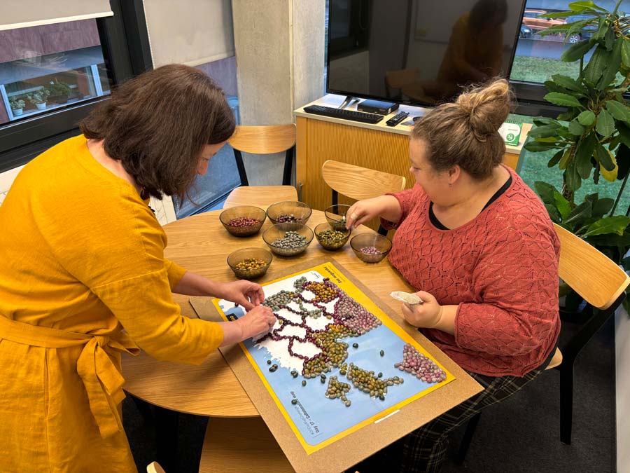
Once, a British tourist who had bought a Regio atlas asked us why so many stones were marked as tourist attractions—why are they so important to Estonians? That made us stop and think: it’s true—we really do love our stones here on the flat Estonian landscape. So much so, in fact, that even our candy factories produce stones…
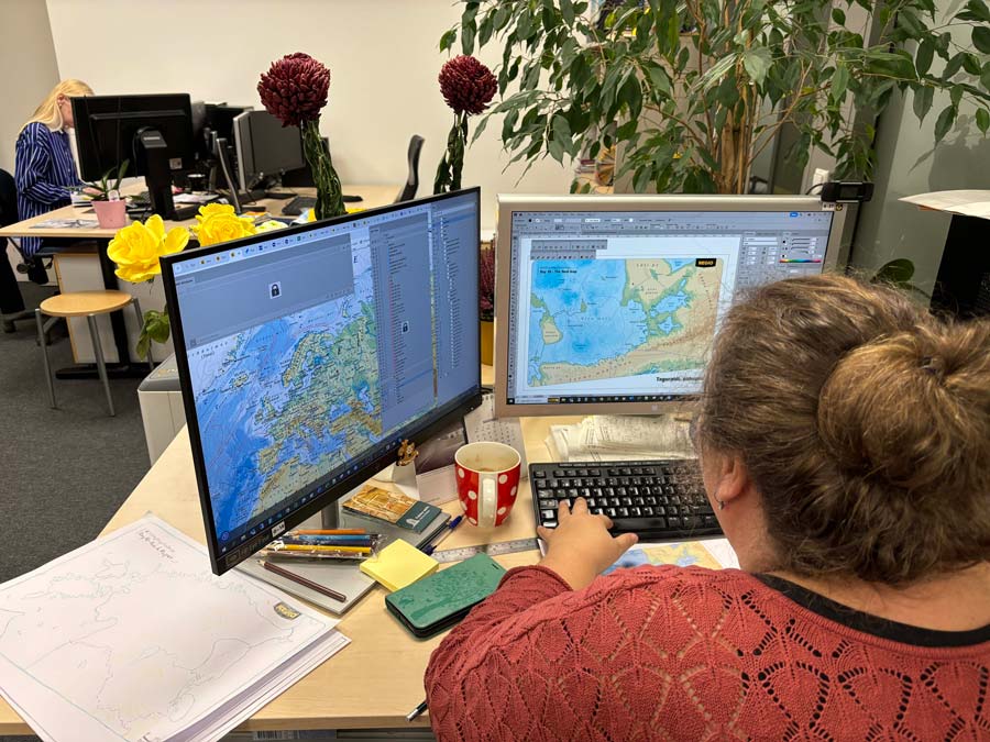
Cartographers Triin Tarre and Mait Luidalepp in action.
We posted Regio’s maps each day on Facebook, Instagram, and LinkedIn—where you can also read more about each individual map. The widest reach was on Facebook, where our maps were seen by over 33,000 pairs of eyes.
Our most popular maps were:
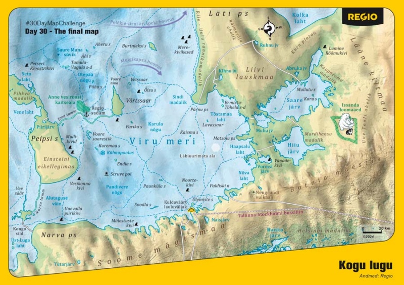
Day 30 – The Final Map (It’s all Wrapped up Now)
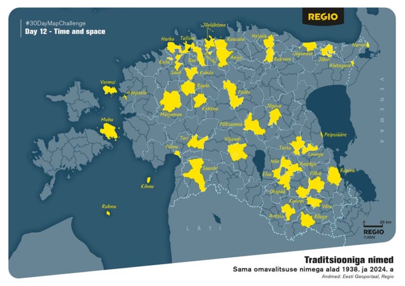
Day 12 – Time and Space (Names with Tradition)
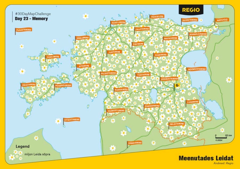
Day 23 – Memory (Remembering Leida)
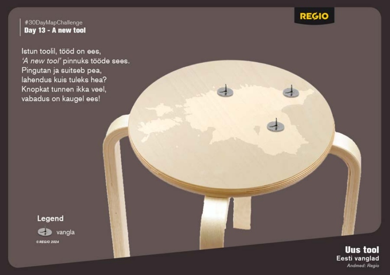
Day 13 – A New Tool (New chair – ‘tool’ in Estonian means ‘chair’)
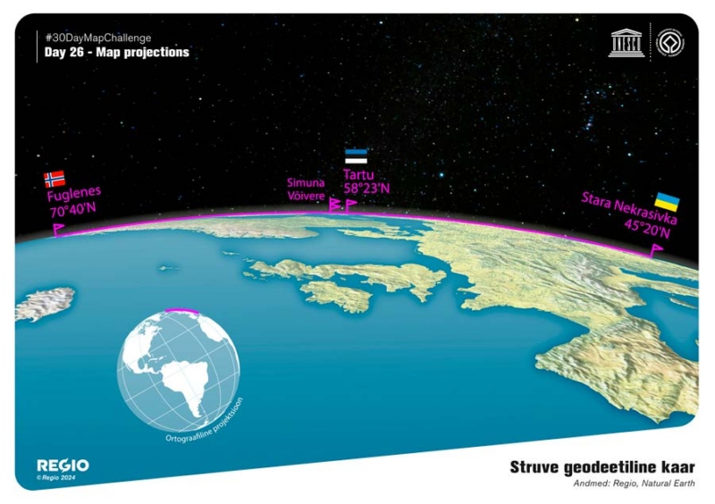
Day 26 – Map Projections (Struve Geodetic Arc)
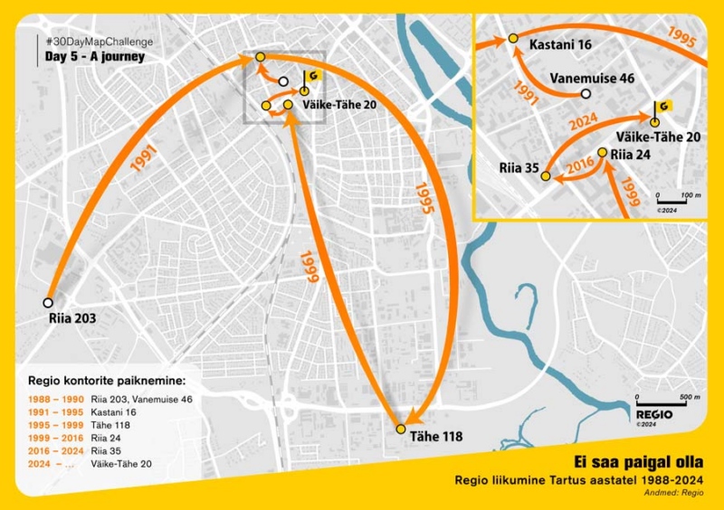
Day 5 – A Journey (Can’t stay still)
In summary, this November was a creatively unique experience for Regio’s cartographers. We must admit that the initial enthusiasm of the first days didn’t last throughout the entire month—but it was enough to carry us through to a successful finish.
What truly mattered was that the process remained exciting from start to finish. We got to experiment with techniques, learn new skills, and gain quite a bit of factual knowledge along the way.
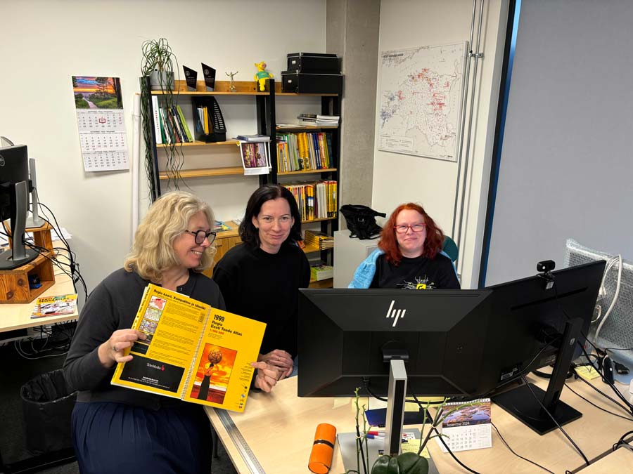
From left to right: Merle Annov, Kertu Uibo, and Triin Tarre.
We did it — and now we have 30 awesome map-postcards!